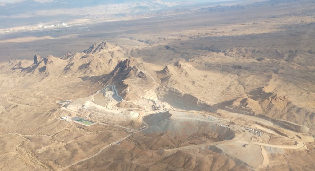
Elevation Gold Mining drills 0.56 g/t gold over 225.6 metres at Moss, Arizona

Elevation Gold Mining Corp. [ELVT-TSXV; EVGDF-OTCQX] released assay results for four reverse circulation (RC) holes that were drilled in the Reynolds pit area at the 100%-owned Moss project, Mohave County, Arizona, including AR23-662R, which intersected 225.6 metres of nearly continuous gold mineralization with an average grade of 0.56 g/t gold, with several higher-grade internal zones highlighted by 12.2 metres grading 1.30 g/t gold.
Highlights: AR23-662R collared 80.5 metres northeast of AR22-656R (previously reported) on a line 37.5 metres east of AR22-656R. AR22-656R intersected 108.2 metres grading 0.36 g/t gold and 2.94 g/t silver.
AR23-662R intersected 225.6 metres with an average grade of 0.56 g/t gold and 2.77 g/t silver. Assay results are pending for AR23-663R, which was collared approximately 87.2 metres southeast of AR23-662R on a line 62.5 metres east of AR23.
Tim Swendseid, CEO, stated: “The outstanding intercept of hole AR23-662R practically speaks for itself, and I’ll only add that the average grade of the intercept is 24% higher than our reserve grade of 0.45 g/t gold and is in an area already fully permitted for mining! My hearty congratulations to our chief geologist, Christopher White, for drilling in a southerly direction and finding an unexpected mineralized zone.”
Ron Kieckbusch, exploration geologist and consultant to the company, added, “These results clearly show the value of continued near-mine exploration.”
Assay results for four RC holes drilled on two lines in the Reynolds pit area are reported in this press release. Three of the holes were drilled to the north-northeast into the Moss vein and associated structures; all three intersected gold and silver mineralization. The fourth hole (AR23-662R) was drilled to the south-southwest into the newly identified north-dipping structures. AR23-662R intersected 225.6 metres of nearly continuous gold and silver mineralization with an average grade of 0.56 g/t Au and 2.77 g/t Ag.
AR23-662R was drilled on an azimuth of 188 degrees with a dip of -39 degrees and a total depth of 274.3 metres. It was drilled to test a series of surface quartz vein and stockworks surface outcrops displaying a northerly dip, conjugate to and beginning approximately 120 metres south of the Moss vein system. Assay results have verified that AR23-662R intersected a significant gold- and silver-bearing system.
AR23-662R is one of three RC holes across three lines drilled over an apparent strike length of approximately 104.2 metres to test the north-dipping structures. AR22-656R, which also intersected significant gold and silver mineralization, was drilled on a line approximately 37.5 metres west of AR23-662R. Results for RC hole AR22-656R were reported March 16, 2023, highlighted by 108.2 metres grading at 0.36 g/t gold and 2.94 g/t silver. The third hole drilled to test the north-dipping structures is AR23-663R. It was drilled on a line approximately 62.5 metres east of AR23-662R. RC chips logged from AR23-663R also display variable amounts of free quartz with very little pyrite. Assay results for AR23-663R are expected in early May. Only approximately one-third of the potential strike length of the potential north-dipping structures have been tested, and the untested strike length extends to both the east and west of the tested strike length.
Elevation also holds the title to the Hercules exploration property, located in Lyon County, Nevada.
