
Starcore geophysics outlines three structural trends at Kimoukro Project, Ivory Coast
Starcore International Mines Ltd. [TSX: SAM] reported results of the induced polarization, resistivity and ground magnetic survey carried out on its Kimoukro gold project in central Ivory Coast, approximately 30 km south of the country’s capital, Yamoussoukro.
Sagax Afrique Sarlu, under supervision of Jean David, completed the IP and ground mag program in early October 2024. The survey covered an area of 5.3 km2 measuring 55 line-km over 34 lines, 100 metres apart and oriented north 105 degrees. An additional six lines were surveyed for mag but not for IP due to their short extension.
The geophysical survey was designed to identify IP and resistivity anomalies and highlight structural features to help the interpretation. Multiple moderate-to-strong chargeability anomalies were detected by the induced polarization survey from which high-priority drill targets will be generated, considering different degrees of resistivity, structural interpretation and geology information.
The ground magnetic survey was carried out over the same lines of IP survey; acquisition conditions were good and no significant noise results in the data.
The magnetic survey highlights three main different domains.
The high-magnetic intensity recorded in the northeast part of the grid corresponds to a granite-tonalite intrusion and immediate surrounding; the shape of the intrusion is irregular; diffuse demagnetization in this area is likely the effect of cataclastic deformation and leaching.
The central part of the grid is interpreted as a strong deformation zone; according to field data, the zone characterizes for highly sheared metasediments and a network of felsic dikes, structurally controlled with north-northwest prevailing trend, well depicted by the vertical derivative map.
The southwest portion of the grid marks a lithology change, likely to more basaltic-andesitic rocks or to the alteration halo of the southwestern granitic intrusion.
Three major structural trends are depicted by magnetic anomalies: one prominent northeast-striking lineament is evident in the central part of the grid, and it could be related to a dike and a fault zone; the northwest-to-north-trending lineaments are consistent with remote-sensing structural interpretation, and same trend of structures is confirmed in the few outcrops.
In the resistivity map, a persistent resistivity corridor is evident in the central part of the grid, striking northwest to north-northwest; this zone is also surrounded by parallel conductive layers. This signature is interpreted as a structural corridor, likely a wide shear zone, whose flanks are coincident with hydrothermal alteration and host mineralized structures. The trend of most veins inferred in the field is consistent with north to north-northwest and northwest IP axes.
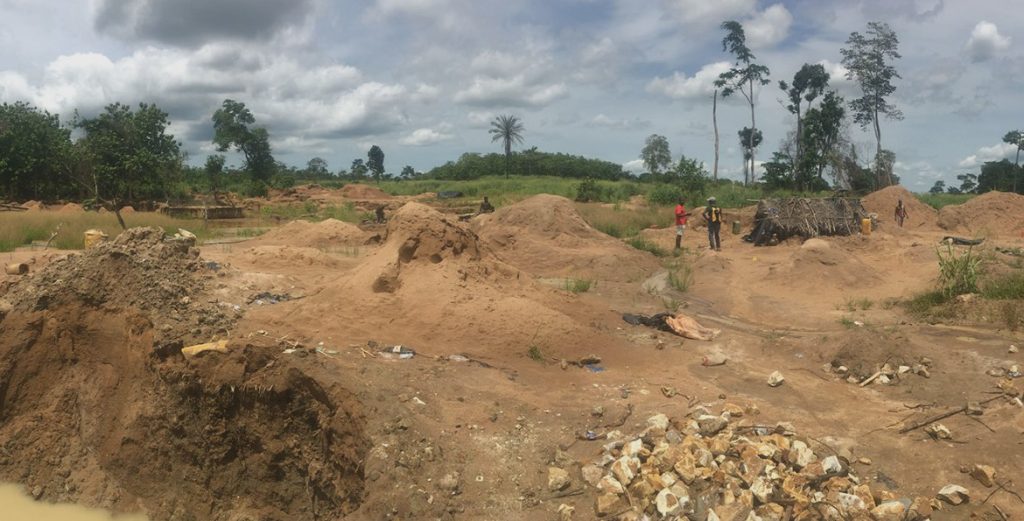
The chargeability (IP) map shows high chargeable values in the northern side of the grid, noticeably the northeastern side, where granite crops out and artisanal miner activity is intense
Both the chargeable and resistive anomalies show good continuity and are open at depth. The distribution and orientation of the chargeable zones fit with a structural model with north-northwest-trending structural corridor, with apparent sinistral shear sense.
Thirteen main chargeability lineaments have been highlighted by Sagax; they often correspond with resistivity axes, suggesting mineralization in the form of veins and associated silicification.
By compiling the information available, priority zones have been narrowed to drill target areas to be used to refine a drilling program.