
Silver Range conducting airborne survey and ground exploration at East Goldfield Property, Nevada
Silver Range Resources Ltd. [TSXV: SNG] reported that a fall exploration program is underway at the East Goldfield Property in Nye County, Nevada.
Precision Geosurveys Inc. of Reno, Nevada and Langley, British Columbia has been contracted to perform an airborne total magnetic field and radiometric survey over the East Goldfield Property. The survey will commence in the next few days following completion of ongoing surveys by Precision in the Tonopah area of west central Nevada. A total of 269 line-kim will be flown along lines spaced 50 metres apart, 30 metres above ground level. The results are anticipated to be useful in mapping the complex, highly altered volcanic stratigraphy present on the property.
A surface sampling program focusing on the area south of the central zone of hydrothermal alteration has been completed. Five targets were examined. The most promising is a 5-metre exposure of grey vuggy quartz with noteworthy disseminated pyrite, 380 metres east-northeast of the Tom Keane Mine shaft.
This style of mineralization is known to host gold elsewhere in the Goldfield Mining District. Assay results from this work are pending. Silver Range intends to follow-up results with a program of small-diameter, shallow diamond drilling employing man-portable lightweight drills. Drilling is scheduled to begin in November.
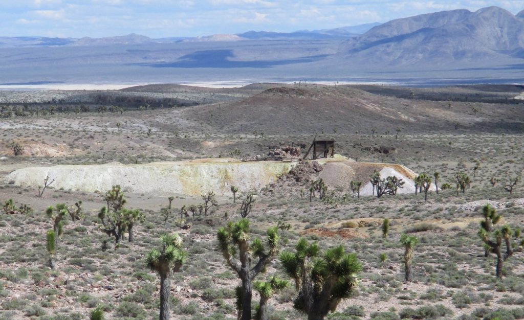
The East Goldfield Property is 14 km east of Goldfield, Nevada and centred on a west-northwest-trending strong alunite alteration anomaly visible in short wave infrared (SWIR) ASTER imagery, and a coincident Au-Bi-Cu soil geochemical anomaly. The most significant historic mine workings on the property are at the Tom Keane Mine, south of this central anomaly.
Workings there consist of a 500-foot inclined shaft and 2,860 feet of underground drifts on four levels. A 1934 examination report listed samples returning 11.6 metres at 2.88 g/t gold on the 219 level and 3.04 metres at 4.11 g/t Au on the 319 level. Known drilling to date has concentrated south of the central alteration and geochemical anomaly in the area of the Tom Keane Mine and both east and west of this site.
In an area approximately 800 metres by 200 metres including the Tom Keane Mine, 19 drill hole intersections from 26 drill holes have been used to define an Exploration Target consisting of from 2.26 to 6.60 Mt grading between 0.34 to 0.62 g/t Au containing between 55,000 to 72,500 ounces gold.
Historical information cited in this news release was obtained from Nevada Bureau of Mines and Geology district files and from historical publications.
Silver Range is a precious metals prospect generator working in the Southwest United States. It has assembled a portfolio of 34 properties, 12 of which are currently optioned to others and also retains nine royalty interests on previously vended projects. Silver Range is seeking other joint venture partners to explore the precious metals targets in its portfolio.