
Canagold Resources drills 1.7 metres of 21.4 g/t gold at New Polaris, British Columbia
Canagold Resources Ltd. [TSX-CCM; OTCQB-CRCUF; FSE-CANA] reported sample assay results from the first five drill holes from the resource expansion drill program targeting the North zone at its 100%-owned New Polaris gold project located in northwestern British Columbia, 100 south of Atlin and 60 km northeast of Juneau, Alaska.
Highlights: 14.5 g/t gold over 3.8 metres from 108.8 metres down hole in hole NP24-01, including 21.4 g/t Au over 1.7 m from 108.8 m; 12.9 g/t Au over 3.8 m from 206.5 m, in hole NP24-01; 10.6 g/t Au over 5.0 m from 109.0 m in hole NP24-02, including 17.6 g/t over 3.0 m from 109.0 m; 13.2 g/t Au over 2.6 m from 78.7 m down hole in hole NP24-04, within a larger interval of 8.6 g/t Au over 9.8 m from 75.0 m; 12.3 g/t Au over 3.6 m from 83.5 m down hole in hole NP24-05, including 15.7 g/t Au over 1.4 m from 83.5 m; 12.9 g/t Au over 4.6 m from 230.8 m down hole in hole NP24-05, including 34.5 g/t Au over 0.8 m from 238.1 m and 21.2 g/t Au over 1.2 m from 240.4 m.
Drill intercepts shown are core length as insufficient drilling has taken place to determine the true dip and strike orientation of the veins being intercepted. Multiple veins are being intercepted in this area of the deposit.
To date, 6,000 metres of the 12,000 metres planned drilling has been completed with drilling expected to continue until the middle of August. The drilling so far has intercepted four separate zones of mineralization in this area.
Catalin Kilofliski, CEO, said, “These initial drilling results located in close proximity to our existing resources are encouraging as they are showcasing the potential to increase the shallow, high-grade resources already defined at the New Polaris project.”
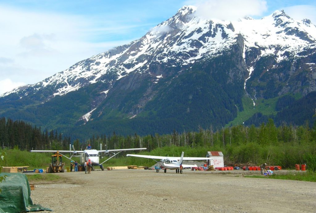
Canagold’s flagship asset is the New Polaris gold mine project consisting of 61 contiguous Crown-granted mineral claims and one modified grid claim covering 850 hectares. New Polaris lies within the Taku River Tlingit first traditional territory.
The New Polaris gold deposit is an early Tertiary, mesothermal gold-bearing vein system occupying shear zones crosscutting late Paleozoic andesitic volcanic rocks. It was mined by underground methods from 1938 to 1942, and again from 1946 to early 1951, producing approximately 245,000 oz gold from 740,000 tonnes of ore at an average grade of 10.3 g/t gold. Three main veins (AB, C and Y) were mined to a maximum depth of 150 metres and have been traced by drilling for up to 1,000 metres along strike and up to 800 metres down dip, still open for expansion. The gold occurs dominantly in finely disseminated arsenopyrite within quartz-carbonate stock-work veins and altered wall-rocks. Individual mineralized zones extend up to 250 metres in length and 14 metres in width. Average widths more commonly range from two to five metres.
Canagold is dedicated to advancing the New Polaris project through feasibility, permitting and production stages.