
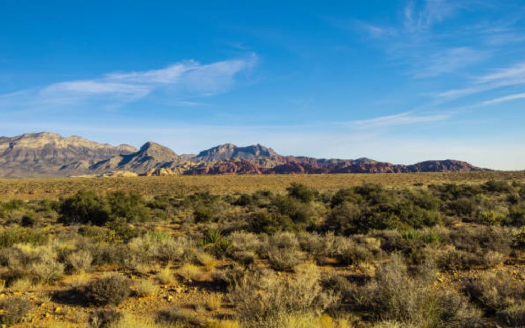
Canter Resources samples 430 ppm lithium at Columbus, Nevada
Canter Resources Corp. [CSE-CRC; OTC-CNRCF; FSE-6O1] has acquired additional third-party data, including historical soil sampling results and geophysical survey data, that highlights significant lithium in soils along the eastern edge of the five-km by 2.5 km priority target area at the Columbus lithium-boron project, Nevada.
The acquisition of substantial third party historical geochemical sampling data, alongside Canter’s own database and sampling efforts, provides a comprehensive dataset within the 23,000-acre project area. This combined dataset includes 473 surface samples and reveals a maximum surface sediment lithium (Li) value of 540 parts per million (ppm) lithium.
Analysis of the newly acquired third party data shows an average concentration of 144 ppm Li across 54 surface sediment samples and multiple locations exceeding 200 ppm Li, with the highest value from the historical dataset reported at 348 ppm Li. Additionally, previous surface brine samples reveal lithium concentrations reaching 240 milligrams/litre (mg/L). This extensive combined dataset highlights the basin’s potential for near-surface lithium enrichment.
The company recently engaged renowned geophysicist, Jim Wright of Wright Geophysics, who completed reinterpretation of available geophysical data. The company has also obtained airborne magnetic and radiometric data from the recently completed collaboration between the United States Geological Survey (USGS) and the Department of Energy (DOE), designed in part to support geologic and geophysical mapping and modelling of Nevada’s lithium clay and brine resources.
“We have taken methodical low-cost steps to support our Phase I drilling at shallow and moderate depths while delineating additional targets throughout the 23,000-acre property package for subsequent campaigns,” stated Joness Lang, CEO. “We are actively updating our 3D model to integrate our expanded dataset and reprocessed geophysics. Initial observations continue to validate our Phase I program and highlight a significant brine target at Columbus.”
During a recent trip to site, the company’s geologists completed a single, one metre (~three feet) deep auger hole approximately 500 metres east of the first planned exploration well at Columbus. The small portable auger rig was not suitable for reaching the interpreted upper brine layer depth; however, the company still collected a sediment sample at the bottom of the test hole that returned a value of 430 ppm Li. The Company will test the upper brine layer during its upcoming Geoprobe campaign.
To further validate and augment this data, thec will collect additional surface sediment and brine samples in the coming weeks, concurrently with its shallow Geoprobe drilling.
Reprocessing of historical gravity data, incorporating data from both regional and property-specific surveys, has identified a prominent gravity anomaly within the basin. This anomaly is indicative of a substantial layer of low-density sediment that may extend to depths exceeding 3,300 metres.
Canter Resources has also integrated airborne magnetic and radiometric data from the USGS – DOE collaboration. This data, underpinned by a comprehensive reinterpretation by Wright Geophysics, has highlighted the intricate structural dynamics at play within the Columbus Basin. The detailed overlay of this geophysical data with our conceptual model of structural kinematics has not only affirmed the presence of a closed structural basin but has also sharpened understanding of the basin’s geology.
Canter Resources is advancing the Columbus Lithium-Boron Project in Nevada, the Beaver Creek Lithium Property in Montana, and the Puzzle Lake Property in Saskatchewan. The company is preparing for a Phase I drill campaign at Columbus to test a highly prospective lithium-brine target.