
Fission Uranium completes geotechnical drilling at PLS, Saskatchewan
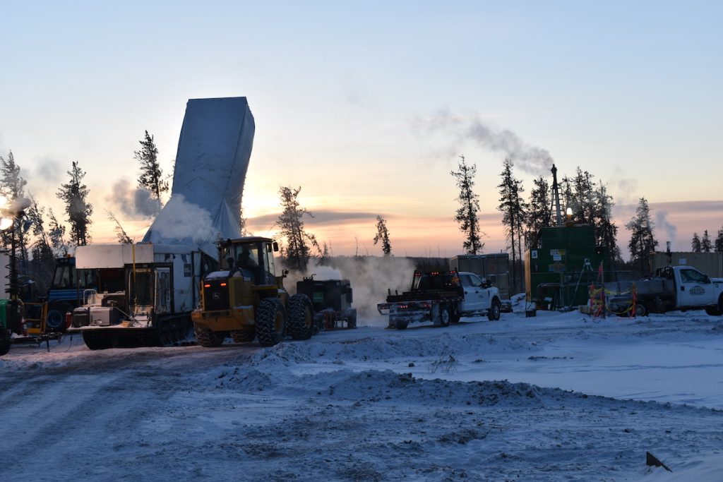
Fission Uranium Corp. [TSX-FCU; OTCQX-FCUUF; FSE-2FU] has completed the first phase of geotechnical drilling in preparation for detailed engineering at its Patterson Lake South (PLS) high-grade uranium mine and mill project in Saskatchewan, Canada. The company remains on schedule to begin Detailed Engineering in Q3, 2024. Additionally, two new drill programs have commenced, focusing on resource conversion of the R1515W high-grade zone for inclusion in the mine plan, as well as testing of regional exploration targets.
Highlights: Completed 35-hole geotechnical drill program; Fission approaching start of Detailed Engineering Design stage; 15-hole (~6,650m) regional exploration drill program has commenced and will follow up on high priority targets identified during the winter exploration program as detailed in the News Release of April 08, 2024; 19-hole (~5,830m) program of close spaced drill-hole delineation has commenced at the R1515W high-grade zone; aimed at upgrading the resource classification of the zone’s Inferred Resources to Indicated for inclusion in the current mine plan (see NR dated April 08, 2024).
Ross McElroy, CEO, commented, “Fission’s PLS high-grade uranium mine and mill project continues to progress on multiple fronts. Our exploration team has begun two concurrent drill programs as we look to grow our mine reserves while also exploring for a new major discovery. At the same time, our development team is hard at work completing the front end engineering phase. Additionally, our permitting remains on schedule and we continue to successfully ramp up community engagement.”
Tailings Management Facility (TMF): 27 boreholes for a combined total of 868.0 metres were completed in the southern portion of the proposed TMF site. This work was conducted to provide critical geotechnical information to support the detailed design of the TMF. A second phase of drilling in the Northern portion of the TMF is to be drilled later this summer, comprising 18 boreholes for a total of 605 metres. Logging of borehole soils and the installation of downhole piezometers for monitoring purposes was conducted by Clifton Engineering Group Inc. (Clifton). Additionally, BGC Engineering Ltd. (BGC) completed vertical seismic profiling at all of the TMF borehole locations.
Waste Management: Four boreholes totaling 80.1 metres were completed at the proposed waste management location to monitor groundwater chemistry. Borehole material logging and piezometer installations was completed by Clifton.
Vent Shaft: Four boreholes were completed at the proposed location of the fresh air and exhaust air vent shafts, totaling 330.8 metres. The purpose of vent shaft drilling was to assess the frequency and size of coarse boulder-type material in the overburden and investigate bedrock conditions at the vent shaft locations. Logging of the borehole soils, bedrock, and installation of in-hole piezometers was completed by BGC.
Uranium mineralization of the Triple R deposit at PLS occurs within the Patterson Lake Conductive Corridor and has been traced by core drilling over ~3.18km of east-west strike length in five separated mineralized zones, which collectively make up the Triple R deposit. From west to east, these zones are R1515W, R840W, R00E, R780E and R1620E.
Through successful exploration programs completed to date, Triple R has evolved into a large, near-surface, basement-hosted, structurally controlled high-grade uranium deposit. The discovery hole was announced on November 05, 2012, with drill hole PLS12-022 from what is now referred to as the R00E zone.
The R1515W, R840W and R00E zones make up the western region of the Triple R deposit and are located on land, where overburden thickness is generally between 55m to 100 m. R1515W is the westernmost of the zones and is drill defined to ~90m in strike length, ~68m across strike and ~220m vertical and where mineralization remains open in several directions. R840W is located ~515m to the east along the strike of R1515W and has a drill-defined strike length of ~430m. R00E is located ~485m to the east along strike of R840W and is drill defined to ~115m in strike length. The R780E and R1620E zones make up the eastern region of the Triple R deposit. Both zones are located beneath Patterson Lake, where water depth is generally less than six metres, and overburden thickness is generally about 50m. R780E is located ~225m to the east of R00E and has a drill-defined strike length of ~945m. R1620E is located ~210m along strike to the east of R780E and is drill defined to ~185m in strike length.
Mineralization along the Patterson Lake Corridor trend remains prospective along strike in both the western and eastern directions.
The 31,039-hectare PLS project is 100% owned and operated by Fission Uranium. PLS is accessible by road with primary access from all-weather Highway 955, which runs north to the former Cluff Lake mine.