
Mundoro Capital drills 1,044.6 ppm copper over 101 metres at Dos Cabezas, Arizona
Mundoro Capital Inc. [TSXV-MUN; OTCQB-MUNMF] reported results from the inaugural drilling at the Dos Cabezas project, Cochise County, Arizona. As of April 12, 2024, Mundoro holds 100% of the project.
Teo Dechev, CEO and president, commented: “Mundoro is pleased with the initial drilling results from the Dos Cabezas project. The first phase of drilling tested four target areas, with scout drill holes in each target. In two of the target areas: Mineral Park and Mescal Canyon, these holes aimed to investigate the presence of a porphyry system, suggested by surface geochemistry, alteration and veining. Both holes confirmed mineralization, supporting the potential for a porphyry-style system and indicating the need for further drilling. Mundoro is progressing in discussions with external parties to potentially option the project.”
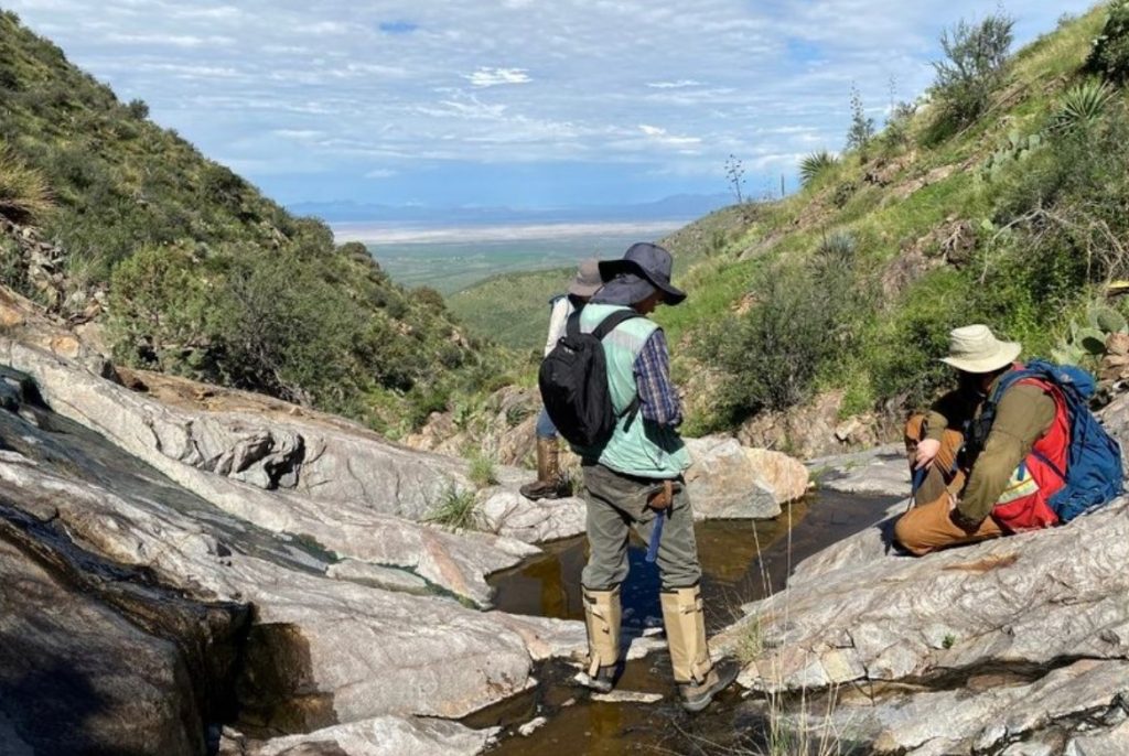
The Dos Cabezas project is located in southeast Arizona, approximately 150 km east of Tucson, within the prospective Laramide magmatic arc portion of the southwestern United States cordilleran porphyry belt. The Dos Cabezas project is surrounded by known porphyry districts, including Safford and Morenci to the north, and Tyrone to the east.
Exploration to date has identified three target areas with outcropping alteration and mineralization potentially associated with Laramide-age porphyry copper systems: Mescal Canyon, Mineral Park and Casey Copper Canyon targets. An additional two undercover target areas were identified: Northwest pediments target and Southeast pediments target, along the apparent WNW (west-northwest) trend of the Apache Pass fault zone which was interpreted to extend below the shallow pediments.
In Q4 2023, two drill holes were successfully completed at the project. The first hole, targeting the Mineral Park area, reached a depth of 598 metres and encountered Cu-Au-Mo (copper-gold-molybdenum) mineralization. The second hole, in the Mescal Canyon area, reached a depth of 743.7 metres and intercepted multiple zones of anomalous Cu-Mo-Ag mineralization and logged alteration and veining.
At Casey Copper Canyon, the company has a permitted drill location to test the potential for skarn-style mineralization, as well as deeper porphyry copper mineralization.
The two drill holes designed to explore beneath the pediment cover were completed in Q2 2023, each extending 400 metres for a combined depth of 801.7 metres. Both holes intersected volcanic units located under the pediment cover, without reaching the basement unit. Magnetic susceptibility measurements and inversion modelling suggest that these volcanic units could be responsible for the observed magnetic anomalies, however, further evaluation of the geophysics in this area is required.
The Mineral Park drill hole, reaching a depth of 600 metres, was designed to evaluate skarns previously mined at Mineral Park. This exploration was guided by magnetic anomalies identified through drone-based surveying and inversion modelling techniques. The deeper exploration target associated with a magnetic low was linked to exposed veining and alteration mapped within the Mineral Park monzonite, situated to the west in an erosional window.
The upper 450 metres of the borehole intersected andesite volcanic rocks that were veined and altered with sericite, chlorite and epidote, exhibiting localized zones of more intense alteration and mineralization.
The final 76.7 metres, starting from 521.5 metres downhole, yielded assay results averaging 665.1 parts per million Cu, 26 ppm Mo, 0.92 g/t Ag and increasing Au values. The entire drilled length of 598.2 metres displayed anomalous zones in Cu-Mo-Ag, accompanied by pathfinder geochemistry of Bi-Te-W-Sn-Zn (bismuth-tellurium-tungsten-tin-zinc), characteristic of the upper levels of a porphyry system.
Due to technical challenges and timing constraints, the drilling was terminated at 598.2 metres, with the final 1.8-metre sample returning 0.4% Cu, 0.14 g/t Au, 93 ppm Mo and 2.2 g/t Ag. This deeper mineralized zone warrants further investigation through a steeper drilling angle from a permitted location east of the current hole, as geological and geochemical indicators suggest the potential for a distinct mineral center separate from the Mescal Canyon target.
At Mescal Canyon, mapping and sampling in the area outlined a zone of pyritic veining with sericitic halos and sericitic fractures consistent with the upper and distal portions of a porphyry system. One drill hole was designed to test the magnetic anomaly directly below the alteration and geochemistry mapped on the surface. The magnetic highs in the inversion model are associated with outcropping volcanics and skarns; with the magnetic low associated with the argillic alteration seen in the Silver Camp monzodiorite.
The entire hole was hosted in the monzodiorite with stockwork veining and sericite-pyrite alteration all the way downhole; and narrow higher-grade zones associated with skarn style alteration near the top of the hole. Elevated copper zones of greater than 0.1% include 92.5 m at 0.11% Cu from 230 m and 101 m at 0.1% Cu from 502.5 m (weighted averages). Highest zone of Mo mineralization was 83.7 m at 57.1 ppm Mo from 335.1 m with these zones typically associated with an increase in vein density and alteration intensity.
The upper zone of skarn style mineralization seen in outcrops and from historical mining close to the collar from 4.9 m with massive magnetite assayed 14.6 m at 64.7 g/t Ag. 0.5 g/t Au, 0.15% Cu (weighted averages) with elevated Bi-Sn-W-Pb. The entire hole showed anomalous Ag-Cu with 738.8 m assaying three g/t Ag and 0.058% Cu with higher grade zones of Cu-Ag-Mo and elevated zones of pathfinder mineralization.
Strong pathfinder geochemistry downhole also suggests that the company is on the edge and/or upper level of a porphyry copper system with additional drilling required to test the extents and core of the system.
The drilling operation achieved a final depth of 743.7 metres, falling short of the targeted 900 metres. The cessation of drilling activities was initially due to the holiday season, followed by an inability to resume operations due to the termination of the Vale earn-in agreement.
Mundoro’s asset portfolio generates near-term cash payments to Mundoro and creates royalties attached to each mineral property optioned to partners. The portfolio of mineral properties is currently focused on predominantly copper exploration in two mineral districts: Western Tethyan belt in Eastern Europe and the Laramide belt in Southwest United States.