
North Peak drills 2.9 g/t gold over 18.3 metres at Prospect Mountain North, Nevada
North Peak Resources Ltd. [TSXV: NPR] reported assay results from final holes 23-27 of the recently completed 27-hole surface drilling program from the Prospect Mountain North area within its Prospect Mountain Property, Eureka, Nevada. Three of these holes targeted the historic Wabash mine area while two holes were on the east side of the property ridge. The Wabash holes strategically followed up on drilling results of the 94-hole program carried out in 1998/1999 by European American Resources (EPAR).
“These 3 holes at the Wabash mine area in Prospect Mountain North have extended mineralization to the SW, NE, and NW,” said Brian Hinchcliffe, CEO. “The consistent results from our phase 1 drilling both in terms of grade and virtually continuous wide mineralization has prompted a phase 2 drill program to start right away.”
Highlights: PM24-025 extends Silver Connor shaft surface mineralization westwards and intersected 18.3m (60ft) at 2.9 g/t Au from surface, including 1.5m (5ft) at 7.0 g/t Au. This hole was drilled NW from the same set-up as hole PM24-004 which intersected from surface 126.49m (415ft) at 1.06 g/t Au, including 12.19m (40ft) at 4.20 g/t Au.
PM24-024 intersected a new zone parallel to the main zone at Wabash and intersected 13.7m (45ft) at 2.0 g/t Au including 3.1m (10ft) at 4.1 g/t Au, plus 13.7m (45ft) at 0.7 g/t Au, including 1.5m (5ft) at 2.0 g/t Au. This hole was drilled 15.2m (50ft) down-dip from hole PM24-016 at the SW edge of drilling (hole PM24-016 intersected 18.3m (60ft) at 3.92 g/t Au (which included 10.7m (35ft) at 5.01 g/t Au), from 71.6m (235ft), within 42.1m (135ft) at 1.89 g/t Au, from 70.1m (230ft).
PM24-023 confirms continuity of the Silver Connor shaft surface mineralization northwards and intersected 50.3m (165ft) at 1.1 g/t Au (with a 1.5m void at 0 g/t Au) from surface, including 3.1m (10ft) at 4.0 g/t Au and 1.5m (5ft) at 4.1 g/t Au and 1.5m (5ft) at 2.7 g/t Au; this hole was drilled NE from the same set-up as hole PM24-022 which intersected 27.4m (90ft) at 7.0 g/t Au (with a 1.5m void at 0 g/t Au) from surface, including 6.1m (20ft) at 23.1 g/t Au and 1.5m (5ft) at 56.4 g/t Au and 161.0 g/t Ag.
Some of the initial observations from phase 1 drilling at the Wabash/Williams area are: Two zones of mineralization, Williams and Wabash, have both been confirmed and extended by our first phase of drilling and remains open along strike and to depth.
High-grade gold is present (up to 56.4 g/t Au and 161 g/t Ag over 1.5m (5ft) of a similar style to historic mining and is still present in the area.
North Peak’s re-interpretation of the Wabash and Williams mineralization as steeply dipping, more continuous zones along structures, has been confirmed by the recent drilling.
Twin holes confirmed zones encountered in the historic drilling are present though high grade gold correlation is poor (nuggety gold – the correlation is very good of best grades to best grades). Initial indications (e.g. Hole PM24-004) suggest the Wabash and Williams zones connect at depth and open up the size potential of the deposit.
The Wabash/Williams areas are one small part of the Property with many other targets still to test. Geophysical targets, rock chip targets, and areas with previous good drilling still remain to be tested across the Property.
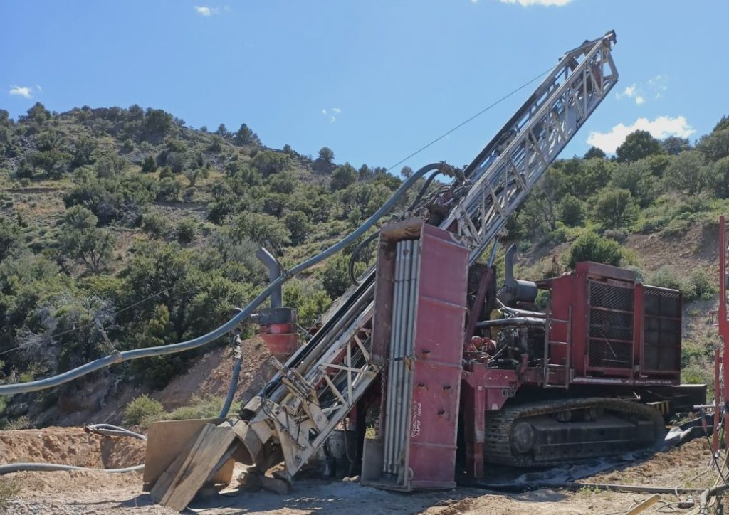
Wabash/Williams/Chicago Area: Three holes are reported and discussed here from the 20 holes drilled to date in this west side area. Extreme topography has restricted the drilling to four pads on the west side of Prospect Mountain.
PM24-024 intersected two zones with the deeper zone of 13.7m (45ft) at 2.0 g/t Au opening up in width and grade below a second deeper zone in hole 16 and may line up with a zone in hole PM24-004 at 105-125ft at 6.1m (20ft) at 2.6 g/t Au that is 109m (358ft) to the NE.
PM24-025 was drilled at -43 degrees to the NW almost in the opposite direction of hole PM24-004 which intersected from surface 126.49m (415ft) at 1.06 g/t Au which included 12.19m (40ft) at 4.20 g/t Au.
The intersection adds to the width of the main Wabash zone. The hole was aimed at another known zone of mineralization noted in the old Wabash mine to the west that has not been drilled to date. The hole is not drilled from an ideal location due to the extreme topography and did not intersect the deeper target.
PM24-023 which intersected 50.3m (165ft) at 1.1 g/t Au (with a 1.5m void @ 0 g/t Au) from surface was drilled at -43 degrees to the NE; it is offset by 22m (72ft) from hole PM24-006 that was drilled parallel in the opposite direction. PM24-006 intersected the surface gossan zone, drilling 35.05m (115ft) of mineralization at 1.38 g/t Au, 26.3 g/t Ag, before crossing a 4.57m (15ft) stope or cave.
East Side of Property Ridge: Two holes are reported from the east side of the Property ridge and targeted the historic Duke mine and Duke fault and numerous associated surface workings. PM24-026 and PM24-027 intersected only low values along the Duke Fault in the vicinity of the Duke Mine.
The property lies in the Battle Mountain Eureka trend, in an area known as the Southern Eureka Gold Belt. At the property, CRD mineralization is heavily oxidized to depths of at least 610m (2,000ft) below the top of the ridge line.
A Plan of Operations is in place which covers part of the Property (totalling 81 acres) and entitles an operator to pursue surface exploration, underground mining of up to 365,000 tons/annum and certain infrastructural works.
The company recently acquired an initial 80% interest in the Prospect Mountain Mine complex, in Eureka, Nevada.