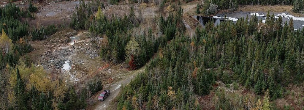
Northstar Gold drills 4 g/t gold over 50.6 metres at Miller project, Ontario

Northstar Gold Corp. [NSG-CSE; NSGCF-OTCQB] reported final results from the company’s phase IIB drilling exploration program on its 100%-owned Miller gold property 18 km southeast of Kirkland Lake, northeast Ontario.
The Phase IIB Miller gold property drill program was completed on November 27, 2021. A total of 2,495 metres was drilled in 14 holes, including 365 metres of drilling on the Searles property in 6 holes (S21-01 to S21-06) and 315 metres of drilling in 2 holes on Area E (MG21-66 and MG21-67). The remaining 1,815 metres of drilling was focused around the Allied Syenite (MG21-63, 64, 65, 68, 69, 70).
Phase IIB Allied Gold Zone drill results for hole MG21-70 returned 4.0 g/t gold over 50.6 metres from 72.4 to 123 metres, including 7.73 g/t gold over 24 metres from 99 to 123 metres; 2.3 g/t gold over 8.0 metres from 175.5 to 183.5 metres, including 15.25 g/t gold over 0.8 metres from 179 to 179.8 metres within the Eastern Branch of the Independence Fault Zone.
Brian Fowler, P.Geo., president and CEO, stated, “2021 was a very busy and productive exploration year at Miller. Surface stripping identified 2 new gold discoveries adjacent and outboard of the Allied Syenite Gold Zone, extending the Zone 130 metres to the east and southeast. Recent drill results extended the Zone a further 180 metres north of 2021 drill hole MG21-56 that averaged 6.6 g/t gold over 117 metres and a further 30 metres south of drill hole MG20-47 that averaged 1.2 g/t gold over 107.3 metres. Exploration in 2021 more than doubled the surface Allied Syenite Gold Zone footprint with just 8 drill holes. We expect continued exploration success expanding the Allied Syenite Gold Zone and making new high-grade gold-telluride-copper vein discoveries at Miller in 2022.”
The Bulk Tonnage Allied Syenite Gold Zone has now been defined by drilling and surface sampling to encompass an area 350 metres X 200 metres and remains open along strike to the northwest, south and southeast.
Drill hole MG21-70, collared 35 metres southeast of hole MG21-47 (1.2 g/t gold over 107.3 metres from 4.7 metres to 112 metres) encountered anomalous pyrite mineralization between 45.5 metres and 124 metres depth with multiple quartz-chlorite breccias and occurrences of visible gold and tellurides.
New Allied Syenite discoveries of high-angle gold and copper rich quartz-chlorite veins and breccias at depth in holes MG21-64 (4.71 g/t gold, 0.51% copper over 6.4 metres) within a segment of the Independence Fault Zone, MG21-65 (9.41 g/t gold, 1.03% copper over 3.0 metres) alongside a vertical felsic dike and MG21-70 (2.30 g/t gold over 8.0 metres) in a branch of the Independence Fault Zone may represent structurally controlled sub-vertical feeder structures tapping a large magmatic-hydrothermal reservoir of gold-bearing fluids at depth within the Allied Deformation Zone. The host structures are open to depth and constitute excellent exploration features for follow-up in Phase III drilling.
The intercept of abundant quartz-chlorite breccia in hole MG21-70 within the Eastern Branch of the Independence Fault Zone hosting 2.30 g/t gold over an 8-metre width from 175.5 to 183.5 metres suggests a zone of continuous gold mineralization within the structure from holes MG21-56 (24.9 g/t gold over 1.5 metres), MG21-47 (3.59 g/t gold over 6.2 metres) and MG21-70 (2.30 g/t gold over 8.0 metres) plunging steeply along this southeasterly dipping sub vertical structure that is expanding at depth within the Allied Syenite.
Observations from drill holes MG21-63 and MG21-64 indicate the recently discovered Independence Fault is a broad sub-vertical, brittle deformation zone featuring abundant chlorite-quartz breccias with chalcopyrite mineralization and multiple occurrences of visible gold and tellurides, including 4.71 g/t gold, 0.51% copper over 6.4 metres from 151.1 to 157.5 metres in DDH MG21-64 which remains open along strike and at depth.
A total of 365 metres of drilling was completed in 6 holes on the Searles Property in the Phase IIB drilling program. The primary objective of the program was to confirm shallow historic No.1 Vein drill intersections on the Searles property (1987) over a 330-metre strike length.
At the Searles drilling program, hole S21-01 that returned 2 g/t gold over 5 metres from 46.5 to 51.5 metres; S21-02 returned 0.39 g/t gold over 2.96 metres from 49.14 to 52.1 metres and S21-06 returned 6.12 g/t gold over 1.28 metres from 29.72 to 31 metres.
Area E drill results included hole MG21-66 that returned 418 g/t silver, 0.15% copper and 0.29% tungsten over 1.5 metres from 62 to 63.5 metres.
