
Beauce Gold Fields completes bulk sampling at Beauce project, Quebec
Beauce Gold Fields Inc. [BGF-TSXV] has bulked sampled northeastern tributaries of the historical paleoplacer channel on the Beauce gold property situated in St.-Simon-les-Mines, Quebec.
Patrick Levasseur, president and CEO, stated, “Analysis of current and historical data suggests that the historical plaeoplacer gold channel could be kilometres longer, meaning historical gold estimates of the placer channel may be underestimated.”
Bulk sampled locations were chosen to test what are believed to be preglacial tributaries that fed gold into the Gilbert River valley, forming the paleoplacer channel consisting of auriferous till and saprolite layering at the bottom of the valley.
Three sites were selected to test the northeast extensions of the paleoplacer channel. They are easily accessible at depths of less than eight metres and have historical overburden drill holes reporting gold.
The sampled sites are St-Gustave Bulk 3SW with 21 cubic metres bulked. Brown saprolite with a mixture of rock debris. It is located near Rang St-Gustave and the Gilbert River section 3SW site of the 1960s Yuba dredging operation; Rang VI Bulk G-80-A with18 cubic metres bulked. Very compact gray till in contact with bedrock. Macamic 1987 RC drill hole G-95 exhibited a 3.6 grams per cubic metre grade; and Rang 14 Bulk G95 with 17 cubic metres bulked. Compact gray till in contact with bedrock. Located 4 km southwest of Saint-Benjamin near section G-95. Macamic 1987 RC drill hole G-95 exhibited a 2.12 g/cubic metres grade. 500 metres southeast of the junction between roads Rang 6 and 14. This site extends the canal to the northeast and beyond G-95 toward Saint-Benjamin.
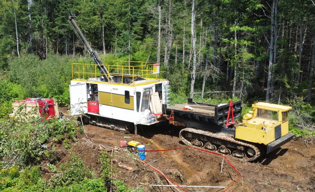
Explolab of Val d’Or, Quebec utilized a mobile placer plant equipped with a trommel and sluice to process the samples on the Beauce gold property.
The historical channel, spanning 6.5 km from Carron Creek to Rang XI Road, has undergone extensive mining and exploration. Recent overburden drilling and LiDAR data indicate that the placer channel may extend an additional f4 km northeast toward St-Benjamin. Studies revealed that the auriferous saprolite unit of the paleoplacer channel is thicker and broader than previously estimated.
This conceptual geological model receives support from IP surveys, observations of eroded anticline vertical limbs in layered sedimentary and volcanic bedrock from 2019 to 2020 trenches, and the discovery of an exposed domed Axis of Antiform ridges along Giroux Creek. This axis trends 4 km from northeast to southwest north of the Gilbert River, aligning with the historical placer gold channel.
Beauce Gold Fields is focused on exploring and developing the largest placer gold district in eastern North America. The company’s objective is the trace old placer gold workings back to a bedrock source to uncover economic lode gold deposits. The company’s flagship property is the St.-Simon-les-Mines gold project site of Canada’s first gold rush that predates the Yukon Klondike. The Beauce region hosted some of the largest historical placer gold mines in eastern North America that were active from 1860s to the 1960s. It produced some of the largest gold nuggets in Canadian mining history (50 oz to 71 oz).