
Faraday Copper drills 0.98% copper over 32.27 metres at Copper Creek, Arizona
Faraday Copper Corp. [FDY-TSX; CPPKF-OTCQX] reported results from five drill holes at its Copper Creek project, located in Arizona, United States.
Paul Harbidge, President and CEO, commented: “Our Phase II drill program continues to confirm our view that there is significant upside to the existing resource that was the basis for the PEA. Drill hole FCD-23-024 demonstrated the potential for further expansion of the underground resource at Keel, which remains open. Follow-up drilling is planned as part of our Phase III drill program, which is expected to commence in the fourth quarter of this year.”
Highlights: Intersected 484.81 metres at 0.42% copper, 0.03 g/t gold and 2.77 g/t silver from 660.84 metres, including 103.26 metres at 0.79% copper, 0.04 g/t gold and 4.68 g/t silver from 924.47 metres, and 32.27 metres at 0.98% copper, 0.02 g/t gold and 8.86 g/t silver from 1,105.18 metres in drill hole FCD-23-024 in the Keel zone.
The entire mineralized intercept of drill hole FCD-23-024 is outside of the current underground mineral resource, highlighting the resource expansion potential to the west of Keel and at depth. Identified near-surface mineralization outside of the open pit mineral resource.
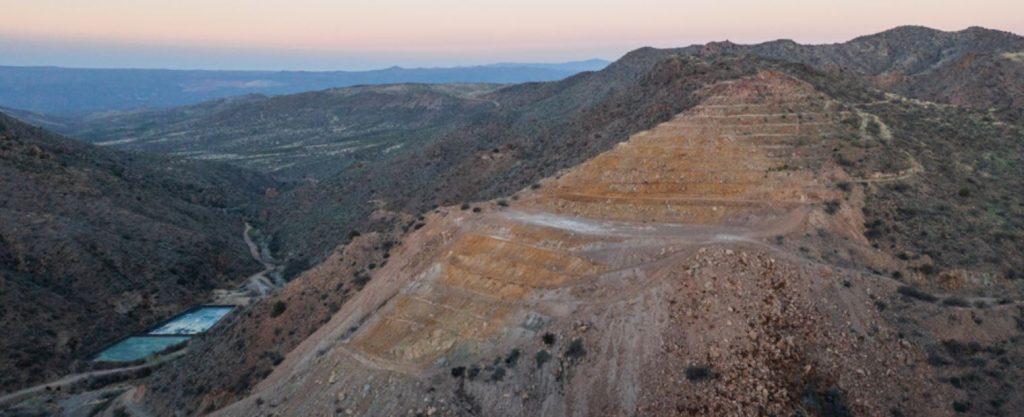
A detailed airborne electromagnetic geophysical survey has been completed on the property and data is currently being processed.
Drill hole FCD-23-024 was collared west of Mammoth and drilled to the southeast. The hole steps out to the west from drill hole FCD-22-007 and intersected a zone of shallowly-dipping, bornite-chalcopyrite-bearing veins and higher-grade mineralization hosted in chalcopyrite-quartz cemented breccia and disseminated mineralization. The entire, nearly 500-metre-long, reported intercept is located outside of the underground footprint used to constrain the Mineral Resource Estimate (MRE) and demonstrates that Keel mineralization remains open to the west and at depth.
Drill hole FCD-23-026 was collared east of Copper Prince breccia and was designed specifically for geotechnical purposes. The hole intersected a near-surface mineralized zone of 31.46 metres at 0.21% copper from 7.72 metres, immediately outside of the mineral resource. In addition, the hole intersected two anomalous zones of silver, 28.84 metres at 0.86 g/t from 182.2 metres and 18.83 metres at 1.2 g/t from 227.07 metres, and merits further follow-up.
Drill hole FCD-23-027 was collared near White Bear breccia and drilled to the northeast. The hole targeted the depth extension of Childs Aldwinkle 240 metres below the recently reported result in drill hole FCD-23-023. An intercept of 18.26 metres at 0.22% copper from 390.72 metres demonstrated the vertical continuity of the Childs Aldwinkle breccia. The main feeder zone of the Childs Aldwinkle breccia complex is interpreted to be located along strike to the southeast and follow-up exploration is planned.
Drill hole FCD-23-028 was collared north of the Copper Prince breccia, drilled to the south and targeted the depth extension of the breccia. The hole intersected a broad zone with magmatic-hydrothermal and fault breccias affected by kaolinite-sericite alteration from approximately 220 metres to 320 metres. Within that zone 32.03 metres of 0.13% copper and 0.83 g/t silver were intersected. The low-grade nature of this mineralization does not support further exploration at depth.
Drill hole FCD-23-029 was collared in the same location as hole FCD-23-028 but was drilled steeply to the northeast, targeting the western margin of the Copper Giant breccia. The hole intersected Glory Hole volcanic rocks which are intruded by granodiorite, the latter dominating the lower 100 mettres of the hole. As no breccia was intersected, this defines the western margin of Copper Giant.
A detailed airborne electromagnetic geophysical survey has been completed. The survey was flown with Geotech(TM) VTEM Plus System and included 988 line-km at approximately 50-metre line spacing over the property. Data is currently being processed and the results will be a key component of future exploration targeting.
Phase II drilling is focused on expanding the MRE, better delineating high-grade zones and testing new targets. This program is expected to conclude in the first week of June 2023. Twenty-seven drill holes have been completed and the results for 20 drill holes have been released to date. Assay results for additional completed drill holes will be released as they are received, analyzed and confirmed by the company.
Current planned exploration activities beyond Phase II drilling include geological mapping, rock sampling, and collection of spectral and mineralogical datasets to inform targeting for the planned Phase III 20,000-metre drill program.
A gold assaying program of historical drill core samples has been initiated to determine the potential for inclusion of gold in future resource updates. Samples will also be taken for metallurgical test work.