Melkior drills 25.7 g/t gold (0.91 oz/ton) over 6.0 metres at Carscallen

Melkior Resources Inc. [MKR-TSXV] as provided results from the first two drill holes on the 100%-owned Carscallen gold project located approximately 25 km southwest of Timmins, northern Ontario. Both holes were drilled to depths of 600 metres with the first drill hole drilled between CAR-61-2010 which intersected 4.85 g/t gold over 13.3 metres from 272.0 to 285.30 metres and CAR-19-03A, which intersected 23.5 g/t gold over 8.0 metres from 426.0 to 434.0 metres (Nov. 28, 2019, press release). The second drill hole was collared 25 metres west of drill hole CAR-19-03A to commence drill testing the strike extent of the gold system encountered in CAR-19-03A.
Highlights
The Carscallen gold project comprises 295 claim units covering 47 km2. The drill program consisted of 1,950 metres with the first two drill holes drilled to depths of 600 metres, and the third drill hole extended from 600 to 750 metres.
Assay results have been returned for the first two drill holes and are pending for the third drill hole with visual indications of mineralization.
CAR-20-05 intersected 25.7 g/t gold over 6.0 metres from 357.0 to 363.0 metres, including 205 g/t gold over 0.7 metres from 360.50 to 361.20 metres within mafic metavolcanics approximately 35 metres below the granodiorite contact and 350 metres vertically below surface.
Drill hole CAR-20-05 has helped to confirm the current interpretation of a significant gold-bearing epigenetic system (minerals forming later than the rocks enclosing it) that continues below the granodiorite and into the mafic metavolcanics rocks below as further verified by an earlier intercept of 51.9 g/t gold over 3.7 metres from 533 to 536.7 metres in CAR-80-2012.
CAR-20-04 intersected 4.2 g/t gold over 4.0 metres from 334.0 to 338.0 metres, including 15.8 g/t gold over 1.0 metre from 337.0 to 338.0 metres. This intercept occurred approximately 100 metres up-dip of the intersection in CAR-19-03A and approximately 60 metres down-dip of the intersection in CAR-61-2010. The intercept occurred within the granodiorite approximately 325 metres vertically below surface and further validates the interpretation.
Drill hole CAR-20-04 further intersected 0.103% copper over 18.5 metres from 472.5 to 491.0 metres plus 8.7% copper and 33.9 g/t silver over 0.5 metres from 545.0 to 545.50 metres.
Drill hole CAR-20-05 intersected 0.30% copper over 1.5 metres from 512.50 to 514.0 metres.
The ubiquitous presence of copper in the underlying mafic metavolcanics suggest that this may represent a copper feeder system vectoring to a VMS (volcanogenic massive sulphide) environment.
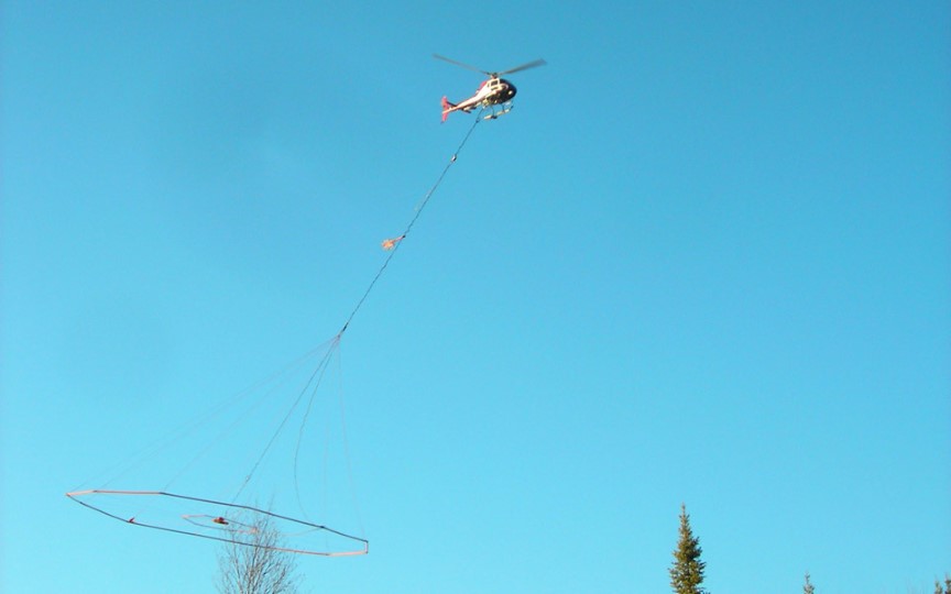
Exsics Exploration has probed CAR-20-06 utilizing the mise-a-la-masse geophysical system (MALM), which utilizes the conductive mass in the drill hole as one of the current electrodes to aid in determining the geometry and strike extent of the conductive mass. Three significant highly conductive lenses or injection points have been determined by the survey, which is continuing.
In 2012, Dr. Eric Hebert, PhD, PGeo, of GeoVector Management Inc., intersected 3.55% copper over 1.35 metres from 528.0 to 529.35 metres in CAR-79-2012 consisting of “stringers of copper sulphide mineralization within a chlorite-rich alteration zone.” Dr. Hebert went on to note “the texture of sulphides and chloritic alteration suggest a VMS origin (volcanogenic massive sulphides) that may be consistent with a possible stringer zone of copper-rich VMS intersected.” Jonathon Deluce, CEO of Melkior, said: “We believe the potential of the system we are uncovering is significant and could bring increased attention to our project in the West Timmins camp. We look forward to providing the results from CAR-20-06 and the Mise-a-la-Masse survey shortly.”
