Sierra Madre samples up to 18.2 g/t gold at La Tigra, Mexico

Sierra Madre Gold and Silver Ltd. [SM-TSXV; SMDRF-OTC] provided an update on its La Tigra gold and silver project located in the state of Nayarit, Mexico. The company has a JV agreement is with the property’s owner, Industrial Minera Mexico S.A. de C.V. La Tigra is located approximately 148 km north of Sierra Madre’s Tepic project.
Assays have been received for 319 reconnaissance samples with values ranging from less than 0.005 to 18.2 g/t gold. The average gold grade of all samples received to date is 0.48 g/t gold with 32 samples greater than 1.0 g/t gold and 10 samples greater than 3.0 g/t gold. Silver values range from less than 0.5 to 65.2 g/t silver and average 3.99 g/t silver with 30 samples greater than 10 g/t silver and four samples greater than 30 g/t silver.
Two structural systems have been identified that host gold and/or silver mineralization. A gold-rich quartz-barite-hematite system strikes to the northwest and dips 35 to 45 degrees to the southwest. The stacked nature of these structures is shown in an image on the company’s website.
AuEq is calculated using a 75:1 silver-to-gold ratio. The second system is silver dominant with base metals, which strikes to the northeast and dips 55 to 70 degrees to the southeast.
Gregory K. Liller, Sierra Madre’s executive chairman and COO, commented: “The recognition of stacked veins within this gold-rich structural system adds to the properties potential. This means that the upcoming phase 1 drill holes will have multiple targets in each hole, increasing the efficiency of every drilling dollar spent.”
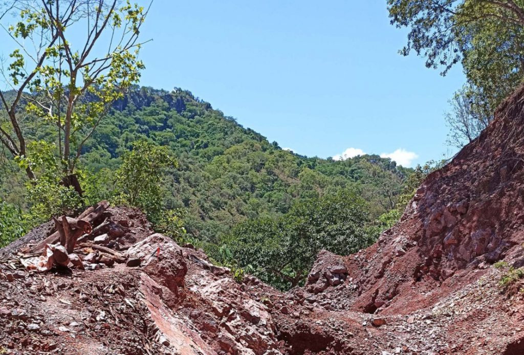
Based on the results obtained thus far, a trenching program is under way along with continuous channel sampling of road cuts where veining, stockworking and alteration are exposed. Data from the trenching program will be used to refine the phase 1 drilling program, which will start upon receipt of permits.
Geo Digital Imagen de Mexico SA de CV was contracted to provide satellite imagery, digital terrain models and topographic maps. Mapping of the area is approximately 80% completed.
