
Stamper drills 0.47% CuEq over 77 metres at Redonda, British Columbia
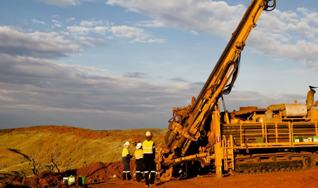
Stamper Oil & Gas Corp. [TSXV-STMP] reported the first assay results from hole RED 23-03 drilled during its 2023 Redonda copper, molybdenum and rhenium fall drill program, coastal British Columbia.
Bryson Goodwin, president and CEO, commented, “The preliminary findings from RED 23-03 have left my team and me thoroughly impressed. Upon reviewing the data, the significance of the results, particularly 77 metres of 0.477% CuEq (copper equivalent), have exceeded our initial expectations.
“Additionally, we achieved significant near-surface values, ranging from 3.1 metres to 48 metres of 0.529% CuEq. This result further strengthens our confidence in the conclusions drawn from our research.
“The discovery that a 200-metre hole is almost fully mineralized while yielding better-than-anticipated results is a confirmation of our acquisition of Redonda. The Stamper team anticipated positive outcomes, but was pleased to discover this wide of an intercept of mineralized core.”
Drill hole Red-23-03 returned 45.0 metres of 0.329% copper, 0.0265% MoS2, and 0.1111 ppm rhenium for a 0.529% CuEq; 77.3 metres of 0.323% copper, 0.197% MoS2 and 0.0791 ppm rhenium for 0.477% CuEq; 10.5 metres of0.174% copper, 0.117% MoS2 and 0.0563 ppm rhenium for 0.270% CuEq.
The currently known highest-grade copper-moly zone and associated breccias extend over a defined northerly horizontal length of over 600 metres, a width of at least 500 metres and a vertical extent of 300 metres.
However, some high-grade copper/MoS2 is also associated with the density of quartz stockworks and fracture filling.
The company is considering an aggressive program in 2024, which may consist of airborne magnetics and radiometrics to define the potassic core zone, limited induced polarization and deeper drilling to below 500 metres. This program is currently permitted. A new notice of work (NoW) has been filed in 2023 to expand the currently permitted program.
The mineralized zones are open to the north. A separate old road system 1.0 km to the northwest will be investigated in 2024 for possible extensions of the mineralized zone. The mineralized zone is open to the south but may plunge to the south (under the Coast plutonic complex). Some future drilling is warranted along roads to the south after airborne geophysics are completed.
The project comprises nine claims totalling 2,746.46 hectares and is located 40 km northeast of Campbell River, B.C. Redonda Island is easily reached with year-round regularly scheduled barge service out of Campbell River through Marinelink. Access from Redonda Bay is by 5 km of recently upgraded logging road. Logging is continuing and assures a well-maintained complex of forest service roads across the claims. Work proceeded in 2021 under a letter of support from the Klahoose First Nation within its traditional territory and a free use permit, drill permit and IP exemption from the Ministry of Energy, Mines and Low Carbon Innovation (EMLI).