
VR Resources drilling New Boston Project, Nevada
VR Resources Ltd. [TSXV-VRR; OTCQB-VRRCF; FSE-5VR] has completed the first hole to target depth on its maiden drill program on its New Boston polymetallic copper-molybdenum-silver porphyry project in Nevada. The drill is now turning on Hole 002.
The company does not expect to receive complete assays for the program until next month, if not July. Short of that, summary information and geologic observations are provided here for context, including a few drill core photos from Hole 001, and the top of Hole 002.
Hole 001 reached target depth and was terminated at 601.34 metres, still in the target. Hole 001 intersected multiple phases of porphyry intrusion throughout the 600 metres, hosted in limestone, and containing stockwork quartz veins and disseminated and vein-hosted sulfide.
Continuous geochemical sampling of the entire 601 metres of drill core of veined porphyry intrusive phases and veined and brecciated limestone was completed on one metre intervals.
Quartz dacite porphyry and biotite monzonite porphyry make up 86% of the drill core overall. The dacite porphyry sills are interlayered with limestone in the upper 300 m of the hole.
There is no limestone in the bottom half of the hole, which was terminated in biotite monzonite porphyry with disseminated sulfide.
Drill hole 002 now underway has started in recrystallized limestone and interlayered dacite porphyry with a vein stockwork intensity similar to that seen in Hole 001.
Dr. Michael Gunning, CEO, “Slow but steady is the simple message we want to convey here. The slow overall daily drill production reflected the combined effects of fracturing related to vein density, alteration, including clay minerals and brecciation locally, and the weathering profile. However, core recovery was maintained, at >90% on average for the hole, so we are pleased with the geology we are able to see, the hole length we were able to reach, and the continuous sampling we were able to do.
“However, given the slowing production in broken ground, and with an eye to program discipline, it was time to move on. Hole 002 is located 300 metres south of Hole 001, and it will test the East Zone conductor on a nearly orthogonal hole design, one that we believe will test a different structural pathway for hydrothermal fluids in the New Boston mineral system. And by modifying the drilling approach to Hole 002 based on the ground conditions in 001, we are open to the possibility of completing a longer hole at 002, depending on what we see in the drill core along the way.”
New Boston is within the Walker Lane mineral belt and structural province in west-central Nevada. More specifically, it is within the co-spatial belts of Jurassic – and Cretaceous-aged copper and moly porphyry deposits, including the Yerington camp to the northwest and the Hall deposit to the southeast.
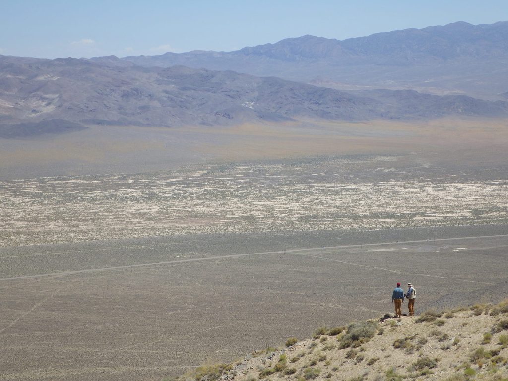
New Boston is located in the Garfield Range in Mineral County., and is approximately 150 km southeast of Reno. Vegetation is sparse in the range; outcrop or colluvium predominate on the property itself, with quaternary cover present to the east in the Soda Spring valley.
The property location facilitates cost-effective, year-round exploration. Access is from the nearby town of Luning, located just 5 km to the east on State Highway 95 which connects Reno and Las Vegas. The property is criss-crossed by many historic trails and roads which are driveable from the highway.
The New Boston property consists of 77 claims in one contiguous block approximately 1.5 x 3 km in size and covering 583 hectares in total (1,441 acres). It covers the entire along-strike and down-dip extent of the polymetallic Cu-Mo-Ag sheeted and stockwork veins east of the Blue Ribbon skarns on the westernmost end of the porphyry-skarn system exposed on surface across approximately 4 km of strike.
The property is on federal land administered by the Bureau of Land Management (BLM). There are no state or federal land use designations, or privately-owned land which impede access to the property; nor is the property within the BLM’s broadly defined area of sage grouse protection.
The property is owned 100% by VR. There are no underlying annual lease payments; nor are there any joint venture or back-in interests. The vendor of the property retains a royalty.