
Gitxsan Company Becoming Major Player in Aerial Imagery Sector in Northwestern BC
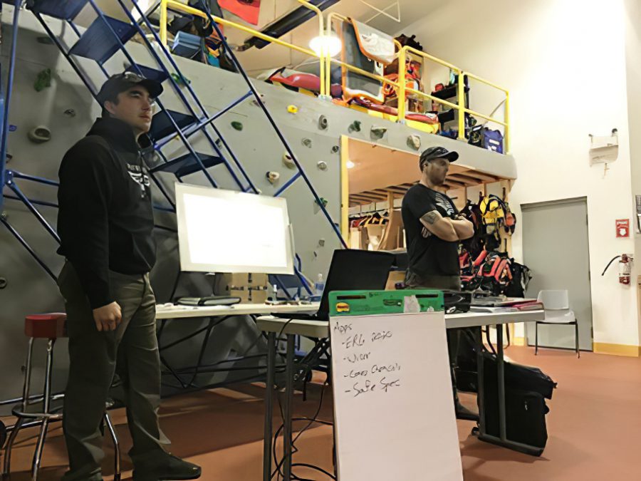
Chris Turner, left, and Jake Storie of Pathfinder UAV. Photo courtesy Pathfinder UAV.
By David Duval
The adaptation of new technologies in the exploration industry has generally been slow and incremental. Most notable is the fact that no widely applicable technologies have been introduced to date that have increased the pace of mineral discoveries and/or significantly reduced the cost of field operations.
In reality, this is partly due to the fact that most of the “easy-to-find” mineral deposits have been discovered already. Although remote technology definitely has its place in exploration, there’s still no substitute for “boots on the ground,” a time-honoured axiom that no doubt will remain a feature of the industry for decades more.
Nonetheless, there are some real contenders on the technology front that could greatly benefit both the mining and exploration sectors. Foremost among them are Unmanned Aerial Vehicles (UAVs) whose usage has exploded globally, with online retailers such as Amazon evaluating drone-delivered parcels right to your doorstep.
At least one Gitxsan First Nations Group in northwestern BC, Pathfinder UAV, is specializing in various aspects of aerial imagery. The company was formed earlier this year by majority partner, Chris Turner along with Jake Storie – both of whom have a long history in the region.
As fully licensed and registered drone operators, Pathfinder UAV also has the ability to acquire permitting for special operations. Its past clients have included CN Rail, Raven Rescue, Skeena First Nations Stewardship Society, Kyah Development Corporation, Northwest Spill Response and Steel Ridge Contracting LTD.
According to Turner, Pathfinder UAV has provided these companies with “on-call response to spill emergencies, construction surveying, project inspections and thermal imagery services.” In addition, he notes they have “ongoing working relationships with all previous clients and are working closely with them to find new ways to put drones to use for their needs.”
An alumnus of the Pretium gold mine in northwestern BC, Turner feels that UAVs have a broad application at operating mines and also in field operations of mineral explorers. The company plans to grow and expand its operational reach and is evaluating future additions of Lidar cameras, gas detection equipment as well as payload drop systems. At the moment they are focused on mapping (orthomosaic and 3D), thermal mapping (wild land hot spot detection, solar farms, waterways, spill response), project inspections (power line, solar panels, infrastructure, bridges, pipelines), spill response, aerial photography and surveillance.
Companies like his are helping Canada catch up to other mining jurisdictions like Australia where UAVs are being used by research and mining organizations as a less invasive method to achieve high-resolution images of land for the exploration of mineral resources.
Ben Howard, Manager Mining Products at Australasian Mining Services, states that the collected data is then analyzed by scientists to determine the geological composition of the land mass which is then further developed through 3-D modelling to understand the structural control of the minerals within the area of interest.
The combined usage in UAVs of magnetic and hyperspectral survey technologies hold particular promise in mineral exploration. Magnetic measurements play an important role in defining a region’s mineral potential given the fact magnetization in rocks is mainly associated with magnetite and other iron minerals which can be used in mapping and targeting of mineral deposits
Hyperspectral imaging (HSI) is a powerful exploration and mapping technique that is suitable for areas where the rock surface is well-exposed. HIS analyzes a wide spectrum of reflected light whereby each pixel is broken down into many different spectral bands in order to provide information on what is imaged.
Drones also have the capability to recover sample material from RC drill holes in both mining and exploration, reducing labour costs for sample collection. Some large mining operations also use UAVs to speed up the process of measuring stockpiles which are sometimes spread over a large area and are of varying sizes and heights. Surveying these stockpiles with a UAV has been found to be 90% faster in many cases as compared to traditional volumetric ground survey methods. At some point in the future the odds favour that we’ll see field geologists employing UAVs for grid-based sampling, especially in areas with difficult terrain.
There are several advantages to using drones in actual mining operations. First, drones equipped with different types of sensors can conduct a quick inspection of an area, either in an emergency situation or hazard identification.
In underground operations, inspection and unblocking of blocked box-holes and ore-passes can be done using drones, among other duties. In areas where remote mining is required because of safety considerations, drones represent safe, viable assessment tools to establish ground conditions and multi-dimensional profiles of mine workings that would normally be inaccessible by traditional survey methods. However, confined space, unpleasant atmosphere and poor lighting conditions are a few of the obstacles facing underground drones not to mention working in GPS-denied environments.
For surface-based applications at least, the sky is clearly the limit for UAVs.