
TerraX samples up to 33.6 g/t gold in Southbelt sampling
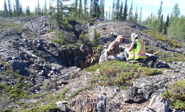
Sampling on the Southbelt property of the Yellowknife City Gold Project, Northwest Territories. Source: TerraX Minerals Inc.

TerraX Minerals Inc. [TSXV-TXR; FSETX0; OTC-TRXXF] reported results from surface mapping and prospecting on the Southbelt property of the Yellowknife City Gold Project, Northwest Territories.
The Southbelt property immediately adjoins the mine leases for the past-producing Con Mine, where over 6. Million ounces of gold were mined averaging 16.1 g/t gold over a 60-year mine life, and covers the extensions of several mineralized trends previously mined at the Con, including the namesake Con Shear, which appears to continue on to our property for up to 5 km.
Other structures have been identified on surface that strike south from the Con property for distances of greater than 1 km onto the TerraX claims and contain values up to 94.9 g/t gold, with values in the 2016 exploration work up to 33.6 g/t gold and 16.4 g/t gold in grab samples. A map of the sampling at Southbelt is available on the TerraX web site under “2016 Field Exploration” under the “Southbelt” project section.
Joe Campbell, Chairman and CEO of TerraX, stated, “The extension of shear and vein systems with known historical production on to our Southbelt property make for very exciting targets for discovery of significant gold deposits. The Southbelt contains multiple high grade, high priority targets with very high potential for discovery.”
A total of approximately 530 samples were taken from outcrop across wide areas of the property which covers 8 km of strike length along the Yellowknife Gold Belt adjacent to and south of the formerly producing Con Mine. Of the 530 samples, 88 returned values greater than 0.50 g/t gold, of which 10 samples were between 3.00 and 15.00 g/t gold, with high values of 33.6 g/t gold and 16.4 g/t gold, as indicated on the map referenced above.
The 2016 exploration results and compilation of historical exploration together defined the extensions of the mineralized structures mined at Con onto the TerraX ground, with multiple additional parallel and cross-cutting gold bearing structures discovered by TerraX. After just one field season on Southbelt, TerraX was able to identify multiple drill targets at Southbelt that warrant immediate drilling.
TerraX submitted an application to the Mackenzie Valley Land and Water Board for a Land Use Permit (LUP) for drilling on Southbelt which was accepted as complete on December 2, initiating the 42-day permit approval process. Approval of this LUP application will allow TerraX to begin drilling on Southbelt during the first quarter of 2017 on the extensions of the mineralized structures striking south from the Con. The application is for a five-year LUP across the entire Southbelt property, giving TerraX maximum exploration flexibility for making a discovery.
Subsequent to the mapping and sampling programs, TerraX received the results of a LIDAR survey flown over the Southbelt property during the summer of 2016. LiDAR flown in 2014 has proven valuable in defining and extending mineralized trends on the Northbelt properties, and it is expected to greatly enhance TerraX’s exploration efforts on Southbelt moving forward.
The Yellowknife City Gold Project encompasses 129 km2 of contiguous land immediately north and south of the City of Yellowknife. Through a series of acquisitions, TerraX now controls one of the six major high-grade gold camps in Canada. Being within 15 km of the City of Yellowknife, the YCG is close to vital infrastructure, including transportation, service providers, hydro-electric power and skilled tradespeople.