
Gold79 samples up to 25.47 g/t gold at Gold Chain, doubles land package
Gold79 Mines Ltd. [AUU-TSXV] announced that based on the positive results from initial mapping and sampling in 2021, the company has again significantly expanded its land package with the staking of 171 new claims at the Gold Chain Project in Arizona.
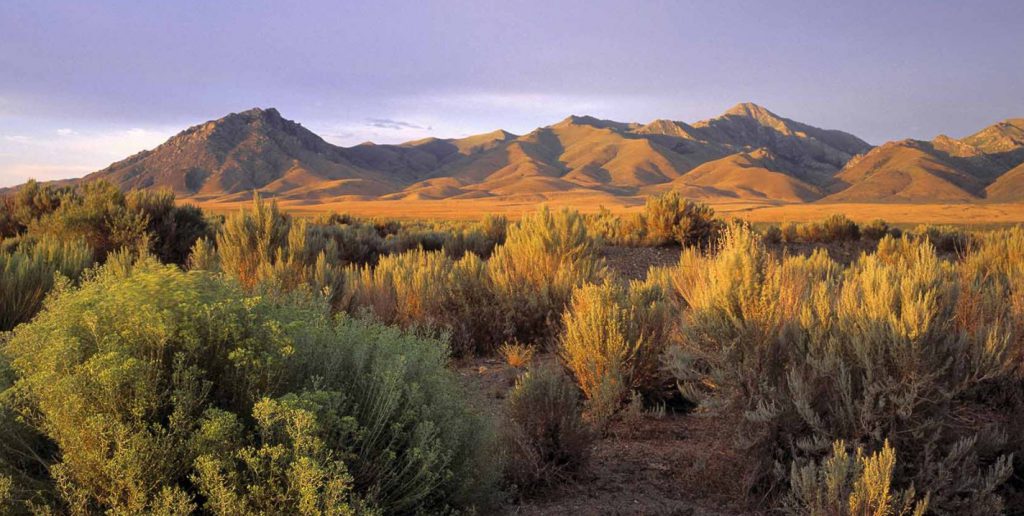
The project now consists of 361 Bureau of Land Management claims covering approximately 2,800 hectares and five patented claims covering 37.9 hectares.
Highlights from the 417 samples reported in this release include 25.47 g/t gold on the Sheep Trail Ledge near the Banner Mine; 8.78 g/t gold on the Red Hill Ledge at the Banner Mine; 18.4 g/t gold in the Sugarloaf Peak area; 11.47 g/t gold on the Sunset Vein; and, 0.725 g/t gold from the Frisco Mine Trend.
Derek Macpherson, President & CEO, stated, “The mapping and sampling completed in 2021 continues to suggest that the scale of mineralization is much larger than previously thought, as such, the company moved aggressively to double its land position in the North Oatman District. Gold79 now controls approximately 12 km of altered and mineralized rocks in this trend, coupling scale potential with solid historical exploration results.”
Macpherson continued, “We have seen increased exploration and staking activity in the region. We believe recent exploration success by other companies operating in the area has resulted in a staking rush across the wider Oatman District. Our aggressive staking has allowed us to establish one of the largest land positions in the region.”
He also noted, “The combination of our recent field success and historical drill results, has the company ready to start its first drill program in more than two years. This summer, we plan to follow-up on historical drilling and complete a maiden drill program at the Banner Mine.”
Field studies were initiated in the Fall of 2020 and focused on Gold Chain Hill, Black Dyke and the Roadside Mine, all prospects with historically identified gold mineralization (1980s). This work identified a close spatial relation between gold mineralization and rhyolite dikes which prompted recon-type activities to the east from the Roadside mine. Early conclusions drawn from this preliminary regional work is that gold-bearing veins, breccia and stockwork from mines and prospects between the Katherine and Sugarloaf Mtn./Philadelphia Project reveal striking similarities including gold/silver ratios, mineralogy, vein textures, wall rock alteration and proximity to rhyolite dikes.
Additional geologic comparison to the Moss Mine, ~15 km south and the Oatman district, an additional several kilometres to the southeast, suggests that the Katherine district is the northern extent of the Oatman district, and this roughly defined chain of gold occurrence is heretofore referred to as the North Oatman Trend. This new work has identified two extensive, and distinct, geologic environments hosting gold mineralization.
The company issued 351,337 shares in connection with the second anniversary payment of US$25,000 due under the terms of the Jefferson Canyon, Nevada property option agreement. The shares issued have a statutory hold period until October 10, 2021. The company now has 121,789,792 common shares outstanding.